
Elko Neighbors by Block
For the immediate block, Elko’s public sources begin with property units rather than people. The county GIS viewer is designed to locate a parcel by address, APN or owner name, then inspect nearby parcels and map details. The Assessor supplies an owner/location and parcel lead. The Recorder helps verify a property trail. County voter access has separate statutory limits, and civic-group pages describe a group or public meeting, not all households nearby. This division matters when trying to understand a block without overstating what a record proves.
| Elko source | Block-level information | Access and limit |
|---|---|---|
| County GIS | Starting parcel, nearby parcels, legal and plat context | Public viewer; service was unavailable during research |
| County Assessor | Owner/location, APN, sale and parcel fields | Public advanced search and office contact |
| County Recorder | Recorded parties, legal description, document trail | Landmark index, counter, copies |
| County Clerk voter route | Only voter information released under Nevada law | Request route; addresses may be withheld |
| Public organizations | Stated geography, purpose, public meeting or contacts | Not a residency roster |
Current owner and current occupant are not interchangeable. An owner may be an entity, trust, estate, or absentee person. A parcel mailing address can be different from the site address. Treat those values as labelled fields, not as a conclusion about who your Elko neighbors are.
Mapping Elko Block Parcels
The GIS method is parcel-first. Find the known address, read the displayed parcel details, and only then expand outward. County GIS lists 10, 50, 100, 200, 500, and 1,000-foot options in its Nearby Parcels tool. A very small radius can help distinguish contiguous lots; a larger one describes map proximity. Neither setting establishes that people are friends, relatives, occupants, or part of one household.
- Search the Elko County GIS viewer with the address, APN or YPNO, or a verified owner name.
- Open the starting parcel and retain its APN, site address, legal description, and plat or keyline references where shown.
- Choose the smallest useful nearby-parcel radius, then inspect adjacent parcels one at a time rather than treating the radius as a people search.
- Confirm a selected parcel in the Assessor search, preserving the source date and any difference between mailing and situs fields.
- Use the APN or legal description in the Recorder Landmark index when a recorded-owner history is needed.
The public GIS service showed a service-unavailable message and unavailable map layers during research. If that condition remains, use the Assessor and Recorder sequence, record the outage, and retry GIS later. For a full named-street chain rather than a block-radius task, use the Elko street directory.
Elko Block Owner Evidence
An APN is the key that holds a careful block note together. The Assessor and GIS assign the owner/location and parcel view, while the Recorder assigns grantor, grantee, instrument, and recording-date evidence. Preserve sale date and recording date separately. The legal description can remain useful when a parcel is subdivided or its street expression changes. Plat maps give map context but are not a boundary survey or a title opinion.
Recorder Landmark’s online index begins in 1984, with document images available from 1993 forward when available. For older work, the Recorder’s book/page, legal-description, filed-map, and Alpha addition/land paths are the documented fallback. The land index does not prove the owner occupies a home, and no source should turn a nearby parcel list into a personal profile.
Note: The GIS disclaimer says assessment data changes daily and is not independently verified, so a checked date belongs with each parcel note.
Elko Block Voter Limits
Voter information is not a block census. The Nevada voter portal was blocked by anti-bot and JavaScript controls during research, leaving the Elko County Clerk as the practical documented route for lists under NRS 293.440. NRS 293.558 protects Social Security, driver-license or identification numbers, and voter email. It also permits address or phone withholding by written request. A precinct or district can support a civic-geography question, but it cannot establish a complete household.
Use the Clerk’s election route for information the statute permits, and request only an identifiable existing record. Do not infer a person’s home from a registration result, merge a person into a household because of one matching address, or try to bypass an address-withholding choice. The state lookup may be useful when it is operating, but its access controls are part of the record landscape.
For a public-record request that cannot be answered by the live route, the Elko County Clerk is in the Annex Building at 550 Court Street, third floor, and lists 775-753-4600. The county request form accepts online, fax, mail, hand-delivery, and other documented submission choices. It asks for a clear description, delivery preference, maximum estimate, signature, and date. The form uses a $25 estimate threshold, while Nevada agencies follow the NRS Chapter 239 acknowledgment, status, estimate, clarification, or denial framework. That process does not authorize a request for withheld voter information.
Elko Neighborhood Association Leads
No authoritative city-maintained master list of Elko neighborhood associations or block clubs was located. The available sources are better treated as public organization leads. Record each group’s stated geography, purpose, public contact, meeting or event information, and date checked. A published officer, visitor page, partner, or attendee has an organizational connection at that time, not an established home address.
| Organization lead | Published role or geography | What it cannot establish |
|---|---|---|
| Spring Creek Association | Separate unincorporated Elko County community | An Elko city neighborhood roster |
| Elko Area Chamber GAC | Civic and business coordination topics | Residency of members or attendees |
| Rotary Club of Elko | Public visitor and weekly-meeting information | Homes of members or guests |
| Elko Art Foundation partner list | Cultural partners, including a Downtown Business Association lead | A directory of block households |
The Spring Creek Association source describes 5,420 lots across 23.4 square miles, with meetings, newsletters, clubs, and updates.
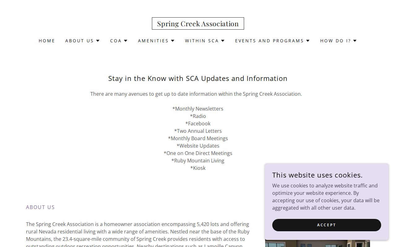
Those numbers describe Spring Creek’s separate county geography, so they should not be used to fold Spring Creek into an Elko city block search.
The Elko Area Chamber Government Affairs Committee lists City of Elko, Spring Creek Association, county, school district, Great Basin College, and hospital topics.
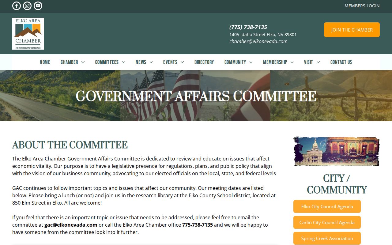
It is a coordination source, not a record of who lives near a particular address.
Elko Block Community Layer
Public community pages are useful for learning where civic life is advertised, while keeping addresses and membership claims in their proper scope. Rotary lists weekly meetings at The Terrace at Ruby View, 1795 Ruby View Drive, and gives visitors public information. The location is a meeting place, not a member address.
The Rotary Club of Elko public site provides that meeting and visitor information.
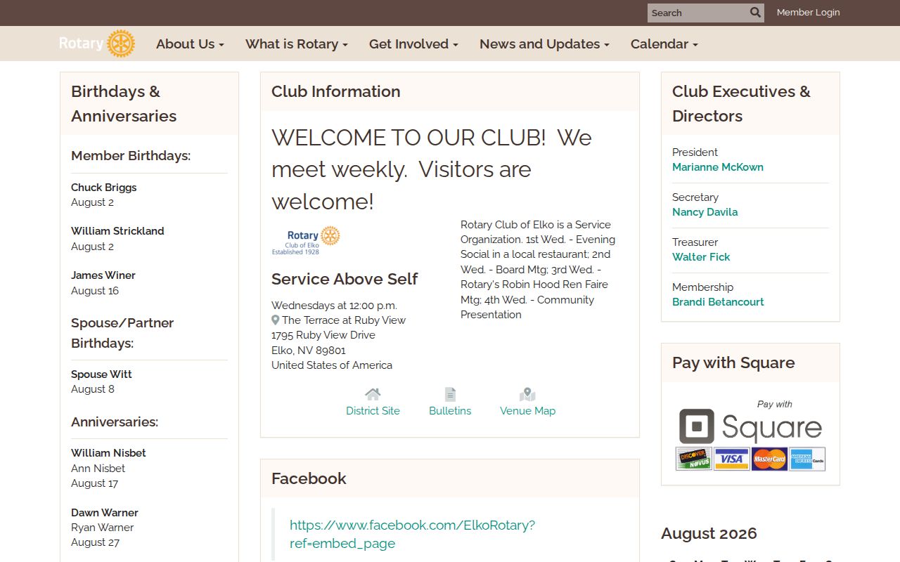
Use a published meeting place as a civic contact point only, and keep participation distinct from residence.
The Elko Art Foundation partner page identifies the Elko Downtown Business Association among cultural organizations.
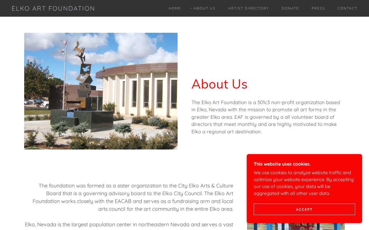
The partner listing is a lead for organization history or public events, not evidence about the people on an Elko block.
The Elko Area Chamber’s current site also publishes a 2026 business directory and 2025-2026 member spotlights. Those pages can identify a public institution or business connection at a stated time, but they do not establish a private address or a block relationship.
Elko Block Source Comparison
Official records and commercial neighbor-lookup products do different things. The official path makes it possible to inspect a stated field, custodian, date, and legal limit. A commercial category may combine old addresses and other claims without showing the original record or its current status. For a block question, a smaller, cited parcel trail is more reliable than an expansive list with unclear provenance.
| Official Elko record path | Unnamed commercial neighbor tools |
|---|---|
| Identifies a custodian, field, access date, and public limit | May combine claims without the source record or update date |
| Separates parcel owner, legal description, and recorded party roles | Can blur owner, past address, and possible occupant labels |
| Offers a counter, request, or archive fallback when a portal fails | Does not replace the agency record or confidentiality rule |
Elko Block Boundary Checks
Elko mailing lines and Elko city limits do not always describe the same place. City Charter and annexation records control the municipal-boundary question, while the Recorder and Assessor supply parcel-level legal and plat evidence. In January 2025, City Council material for Annexation No. 1-24 identified approximately 44.72 acres and APN 006-09U-001 as a parcel previously outside the city boundary. That is a useful reminder to attach a date to any city or block statement.
Postal normalization is another check. A USPS result can standardize a street line, but it does not show city incorporation or a person’s connection to the address. Keep postal city, ZIP, situs address, legal description, APN, city-limit status, and source date as separate fields.
Elko Block Evidence Terms
These labels help keep a nearby-parcel search precise and reproducible.
- APN
- The parcel number used as the first join between Assessor, GIS, and Recorder records.
- Nearby parcel
- A mapped property unit within a selected GIS radius, not a named person.
- Owner
- The party shown by a property source, which may not be the site occupant.
- Legal description
- The recorded property language that can bridge an address, lot, block, addition, or map reference.
Privacy Limits for Elko Neighbors
Some block information must remain unavailable or withheld. Nevada’s Confidential Address Program uses a fictitious address and mail-forwarding route for eligible participants, and government or utility records with that protected information are not publicly available except through narrow legal routes. Recorder confidentiality statutes also protect certain personal information in recorded documents. Juvenile, sealed, protected-party, and other restricted material has separate limits.
Lawful use. Use Elko neighbor sources for personal, lawful research, reconnecting, civic curiosity, and understanding property records. Do not use a public parcel or meeting listing to watch, follow, threaten, harass, or harm anyone.