
Elko ZIP Coverage
Elko has one clearly documented primary city postal pattern, plus historical and cautious designations that should not be silently merged. The postal label is useful evidence about how mail was standardized at a point in time. It is not a municipal boundary or a parcel boundary. The table distinguishes what the research confirms from the labels that need an address-level USPS check before use.
| ZIP | Areas covered | Postal basis | Record-use note |
|---|---|---|---|
| 89801 | Primary Elko city address pattern | USPS Elko Main Office page uses an Elko 89801 address | Confirm a full street address through USPS before relying on the result. |
| 89802 | Historical Elko East designation | Elko East classified station discontinued in 2010 | Preserve on old records; do not call it a current neighborhood without confirmation. |
| 89803 | Elko postal designation in state and USPS material | Current delivery mode was not exposed during research | Use cautiously as an alias, legacy, or PO-box lead until USPS verifies the address. |
| 89815 | Spring Creek area | Adjacent Elko County community | Not Elko city; use only as Elko-area or county context. |
Other Elko County labels in the Nevada legislative list include 89821, 89822, 89828, 89830, 89831, 89833, 89835, and 89883, along with 89823, 89825, and 89826 point-based or county designations. They are not city-proper labels without a USPS result for the address in question.
Search Elko by ZIP
Use the postal result as the first address-normalization layer, not as a people list. The USPS ZIP Lookup offers By Address, By City/State, and Cities by ZIP routes. Enter the complete address when possible, then retain the returned postal city and ZIP beside the original record line. USPS itself warns that a result standardizes postal geography and does not prove that a person or company is connected to the address.
The captured USPS screen shows the official postal lookup route used for this Elko address search.
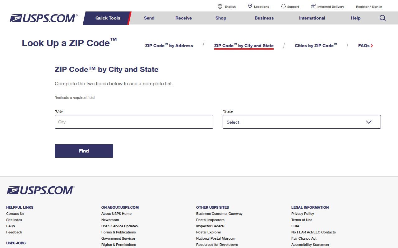
For an old letter or directory line, preserve the original ZIP code first. Add a current USPS-normalized value as a separate field, since a historical station, box, or nearby-community label may not map cleanly to a present delivery pattern.
| By Address | Enter a complete street address to obtain the current standardized postal result. |
|---|---|
| By City/State | Use a city and state to explore postal results, then confirm the actual street address. |
| Cities by ZIP | Check the postal city names associated with a ZIP without treating them as incorporation evidence. |
| Nevada ZIP reference | Use the legislative city/county list for coverage context, then verify a current address with USPS. |
Note: A postal result is an address-standardization outcome, not proof of occupancy, ownership, or a city-limit location.
Elko ZIP Filters Are Missing
No local portal inspected for this research exposed a ZIP filter. The Elko County Assessor advanced search accepts owner, street-number range, street name, subdivision, section, township, range, APN, tax district, use, zone, construction year, sale information, and other parcel fields, but no ZIP field was observed. County GIS allows address, APN, owner, city or town, subdivision, and nearby-radius work, but no ZIP filter was observed there either. The GIS service also showed an unavailable state during the research run.
That limitation matters for accuracy. Do not claim an official ZIP-wide resident result from either portal. Use USPS to confirm a postal line, then search Assessor or GIS with the known address or APN. If a street becomes the real organizing fact, the Elko street directory has the address-first record trail.
- Normalize the full address with USPS and save the returned postal city and ZIP with the check date.
- Search the Assessor by street number and street name, or use an APN if one is already known.
- Use GIS by address or APN for legal, plat, nearby-parcel, and map context when the service is available.
- Search the Recorder by parcel ID or legal description when the research question shifts to a dated instrument.
- Check City Charter and Council boundary material when the question is whether the parcel was inside Elko on a particular date.
These steps produce a source-backed address trail. They do not turn a ZIP into an official list of people.
Elko Postal Address Fields
Keep postal and parcel values apart from the start. A complete Elko record can contain a situs address, mailing address, legal description, postal city, ZIP, APN, city-limit status, source date, and an original historical line. A match in one system does not validate every field in the others. Directional words, street suffixes, punctuation, and older street forms should be searched as variants.
- ZIP+4
- The extra four digits used by USPS to refine delivery routing. It does not establish a city boundary or personal connection.
- PO-box ZIP
- A postal designation associated with box service. It may differ from the delivery ZIP for a physical street address.
- Unique ZIP
- A code assigned to one organization or delivery arrangement when USPS designates one. No Elko-specific example was verified here.
- Carrier route
- A mail-delivery grouping. It is a postal route, not a parcel map or a resident roster.
A historical address can be checked through newspapers, maps, and Sanborn sheets before an Assessor or Recorder comparison. Research found no official citywide street-renumbering year or complete historical address-conversion table, so retain old spellings instead of overwriting them.
Elko 89802 ZIP Story
Elko East 89802 is a historical clue, not a shortcut to a modern neighborhood. USPS Postal Bulletin material states that Elko East was discontinued as a classified station in 2010. When the number appears on an old envelope, directory line, or other historical document, transcribe it exactly and record the document's date. Then test the street address through the current USPS tool rather than assigning the old label to a current parcel.
This historical detail explains why two records for the same broad Elko area can use different postal language. A change in postal service does not by itself show that a person moved, that a property changed municipal status, or that a historical record is wrong.
Likewise, 89803 appears in state and USPS material but its exact current delivery mode was not exposed during research. It remains a cautious postal designation until an address-level USPS response clarifies its use.
Elko ZIPs and City Limits
Postal geography and municipal territory answer different questions. A parcel can receive an Elko mailing address while being outside incorporated Elko, including in unincorporated Elko County or Spring Creek. Conversely, a change to a city boundary does not automatically change a postal designation. For incorporation, use the City Charter and annexation record. For a particular parcel, use the filed plat, legal description, and the appropriate Assessor or Recorder material.
The Elko City Charter ties city territory to the official plat filed with the Recorder and Assessor and supplies the annexation framework. It is the stronger boundary source than a postal lookup when the question is city status.
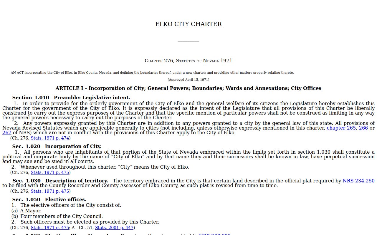
Use the charter and parcel evidence with the date of the record. That prevents a current postal label from being read as a historical municipal fact.
Boundary check. Postal labels can cross city limits. Confirm the parcel's city status with the charter, annexation material, and parcel records for the relevant date.
Elko ZIP Boundary Dates
City Council records show why a date belongs beside an Elko postal line. On January 14, 2025, the Council finalized Annexation No. 1-24 for approximately 44.72 acres. Staff material identifies APN 006-09U-001 and describes the parcel as previously outside city limits, bordering the city on two sides before annexation. That is a measured example of a real boundary change, not a rule for every address carrying an Elko label.
The City Council annexation record is the official access channel for the action and supporting material.
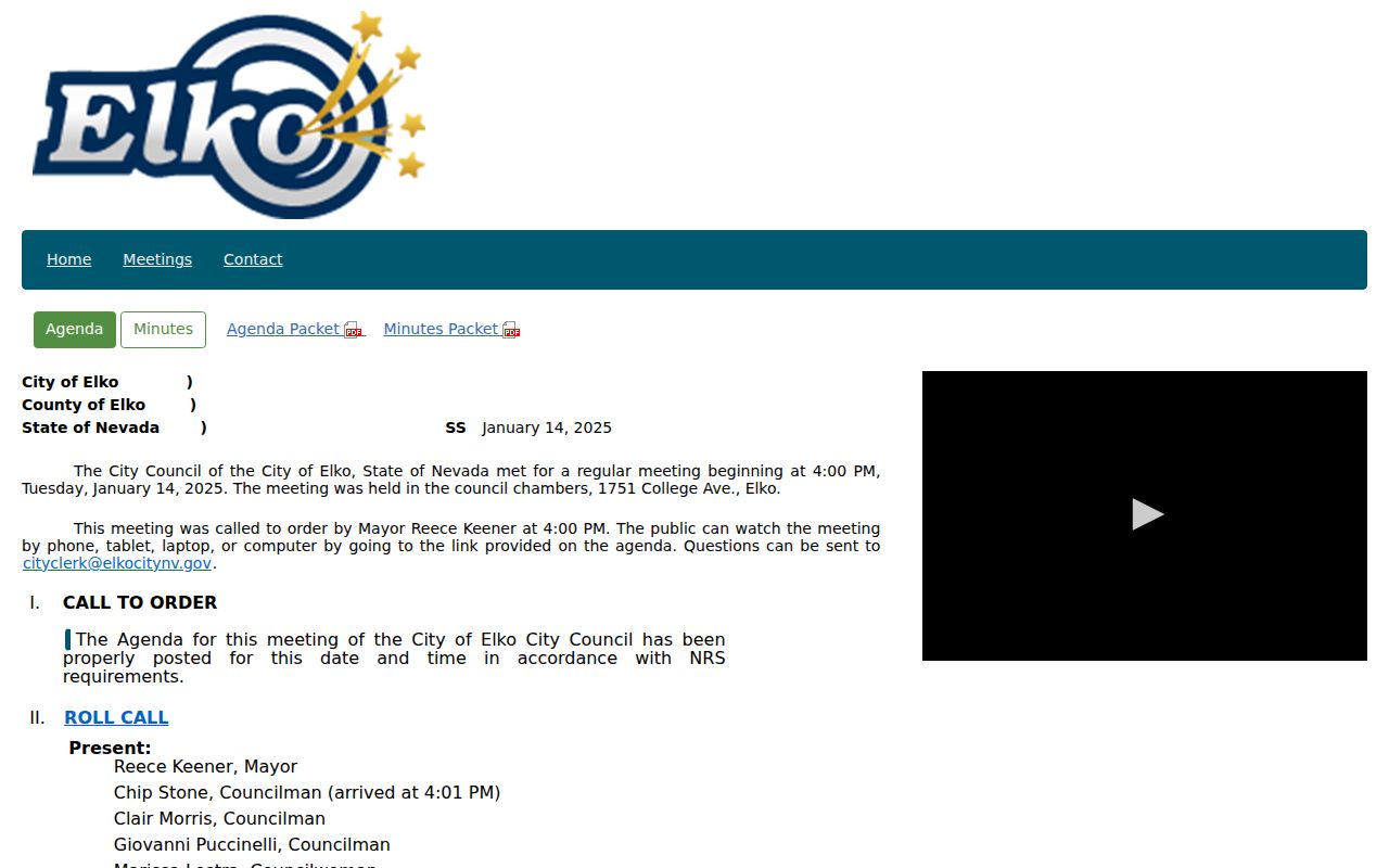
For historic research, cite whether an item is a proposal, a final action, or a later description. A record from before annexation may correctly show a parcel outside the city even if a present map places it inside.
Note: City Council agendas, staff reports, minutes, and recorded parcel material can describe different stages of the same boundary change.
Elko Area ZIP Context
Spring Creek's 89815 label belongs in Elko-area research, not in a city-proper list. The Spring Creek Association describes its own geography, with 5,420 lots across 23.4 square miles, and is a separate Elko County community. A result tied to Spring Creek should retain that geography even when another source uses Elko as a regional reference. The same care applies to rural or county-only labels in the Nevada list.
The Spring Creek Association geography page provides a public context source for the nearby community rather than a city resident source.
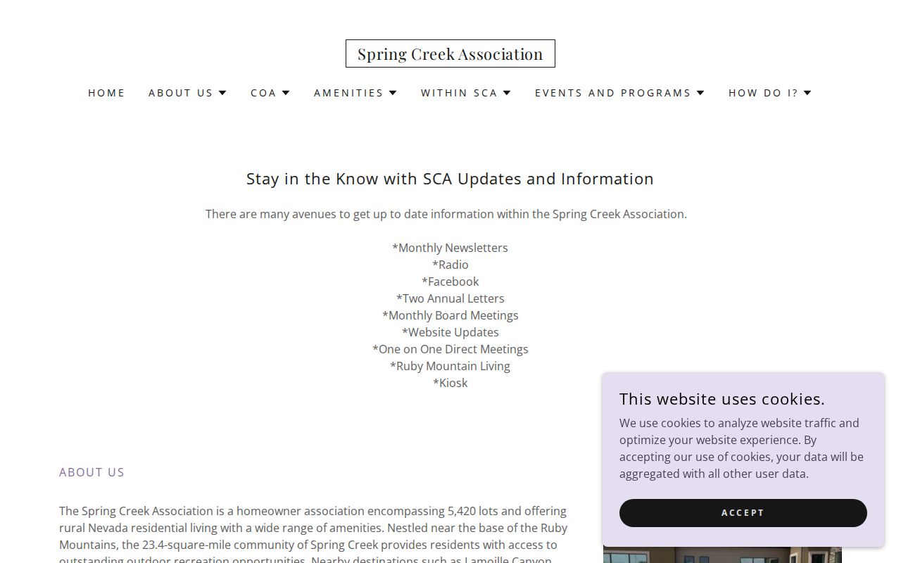
Labeling a record as Elko city, Elko County, Spring Creek, or an Elko postal designation makes later address joins safer and prevents regional wording from becoming a city claim.
Elko ZIP Reference Layers
The Nevada legislative ZIP-by-address and county reference is useful for assembling county coverage, but it is not a parcel-boundary data set and cannot replace USPS. For a careful record, retain the ZIP, place name, county, delivery type when USPS displays it, date checked, and whether the row is city-proper, adjacent-community, or county-only. The City permit search can add a service-address or parcel-number check, but its historical result depth was not confirmed.
The Nevada ZIP-by-city and county reference supplies a statewide comparison layer. The City of Elko permit search accepts a resident parcel number without dashes and offers service-address autocomplete, making it a secondary address lead rather than a postal authority.
This postal directory remains most dependable when it describes postal geography, city status, parcel evidence, and record date separately. That preserves the useful clues without overstating what a postal label can prove.